Dear diary, today I realised that this might become a more challenging and exhausting endeavour than I might have thought.

Tough day, 32 degree Celsius, unpaved roads, short but steep ascents, and then some rain in the end. Liquid intake: 9.5 litres.
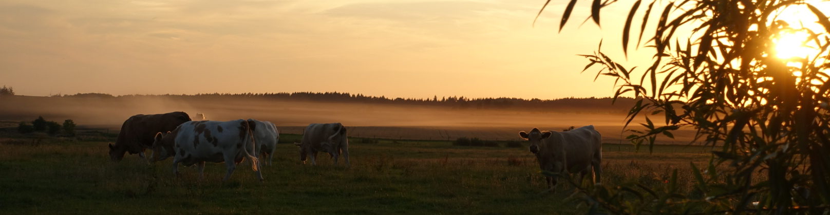
The day started good, i.e. with some calories.

I had to get back on the Berlin Copenhagen bike trail, since I did a detour of around 10 km yesterday to find shelter for the night. I decided to give Google Maps another chance – bad idea.

What didn’t look too bad at first, should soon become an unpleasant sliding through loose sand to a point where I even had to push my bike like an old woman using hers as a walking aid. Which mine clearly is not with its over 50 kg of weight.

At some point I started to think about the possibility of Google using me as a human probe to get data about less frequented “roads”. Like this one.

When back on track, things became better, and I could work on increasing the average speed. There was a number of other bike travellers along the way. Of course, my brain immediately loaded the road-bike mindset and I had to overtake them all. At the end of the Brandenburg part of the trail, I got some further motivation from that sign, yay.

After 80 km I hit the wall, which means I was, regardless of drinking plenty of water, dehydrated and out of nutrients. On some steep parts, I had to push again. I am thinking of throwing away some gear to loose weight. There are quite some height meters waiting in Sweden. As a rule of thumb I found that I have to eat at least every 2 to 3 hours – meaning a full meal, of which I had 5 today. I should start grocery shopping, otherwise this is going to become an expensive trip. As mentioned above, I drank 9.5 litres today. On the other side – skip to the next paragraph if you prefer not to read observations of my bodily functions – I had no urge at all too void my bladder during the ride. And when I did, well, let’s just say I’ve never seen urine that dark before, so definitely dehydrated.
The day ended with rain and another Google Maps ride. I pretended to be a car this time, which brought me to the camp site along an acceptable route. Lucky me, they had showers and schnitzel.
Equipment paragraph: the bridge.

From left to right, there are:
- a) a bell to spook unexpecting riders in front of me,
- b) a Garmin Edge 500 bike computer,
- c) a Sony Xperia Z1 compact smartphone, and
- d) the light switch of the Lumotec IQ2 Luxos U front light.
The Garmin records the GPS tracks and has external sensors for my pulse, velocity, and pedalling frequency. The latter helps with maintaining a high, knee-friendly cadence by shifting accordingly. The smartphone does Navigation. I currently use the Oruxmaps app with offline maps from openandromaps.org, and some random GPS tracks I googled minutes before starting the trip. The front light has a built-in battery, that buffers energy from the dynamo. The cable that goes from the light switch into the smartphone bag powers the phone. After 15 to 30 minutes of driving, the front light starts charging the phone for as long as one maintains a speed above ~15 km/h without stopping for too long. Surprisingly, even with full display brightness and GPS on, the phone’s battery level increases, while I only expected a slowed down decrease. The switch turns on and off the lights, can be used to flash the front light, and to trigger a full/bright beam using the battery for around 15 minutes. It also has LEDs indicating the buffer battery state, the bright beam, and back-light failure.