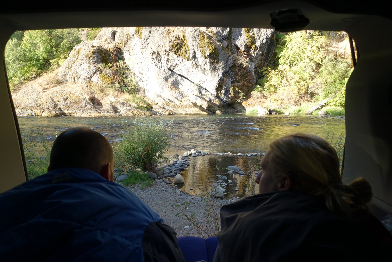
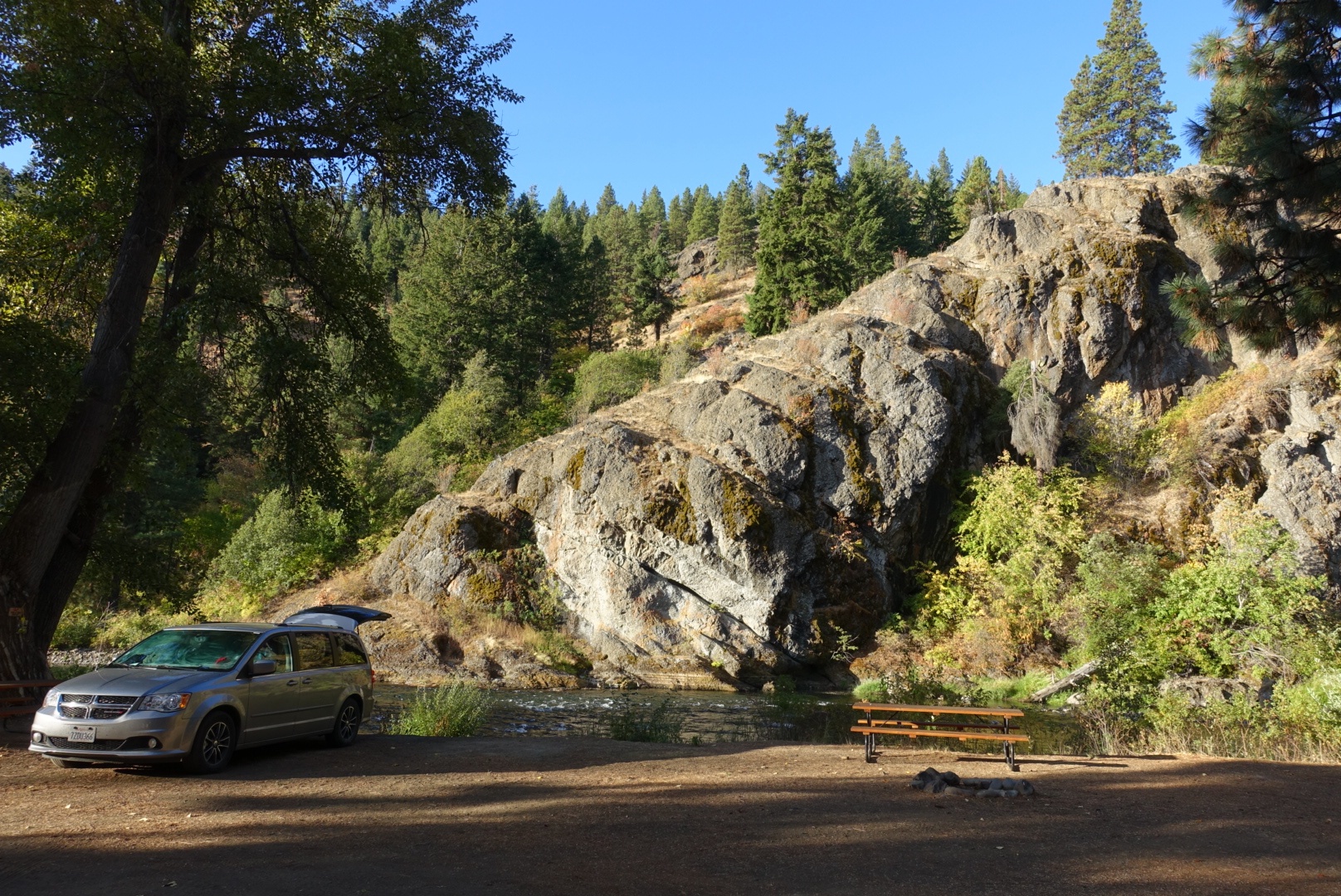
We had a plan when we parked the car next to the River in front of the Squaw Rock yesterday. Our car – which we named Pikuni, assuming it was the name of Miss Blackfeet from a photograph, but later realised it actually means Blackfeet – opens its rear at the push of a button. What a view to start the day with.
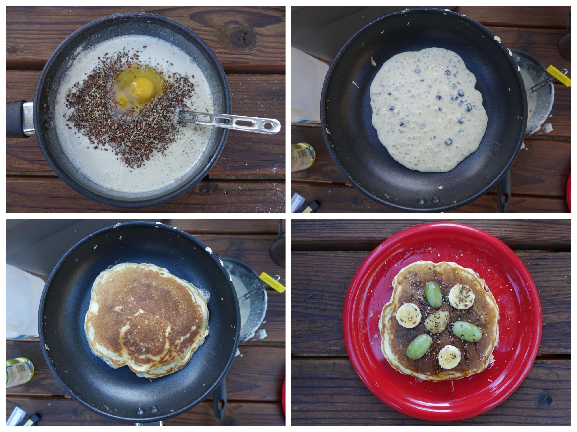
The temperature was mild down in the valley. We had pancakes with baked-in Blueberries for breakfast.
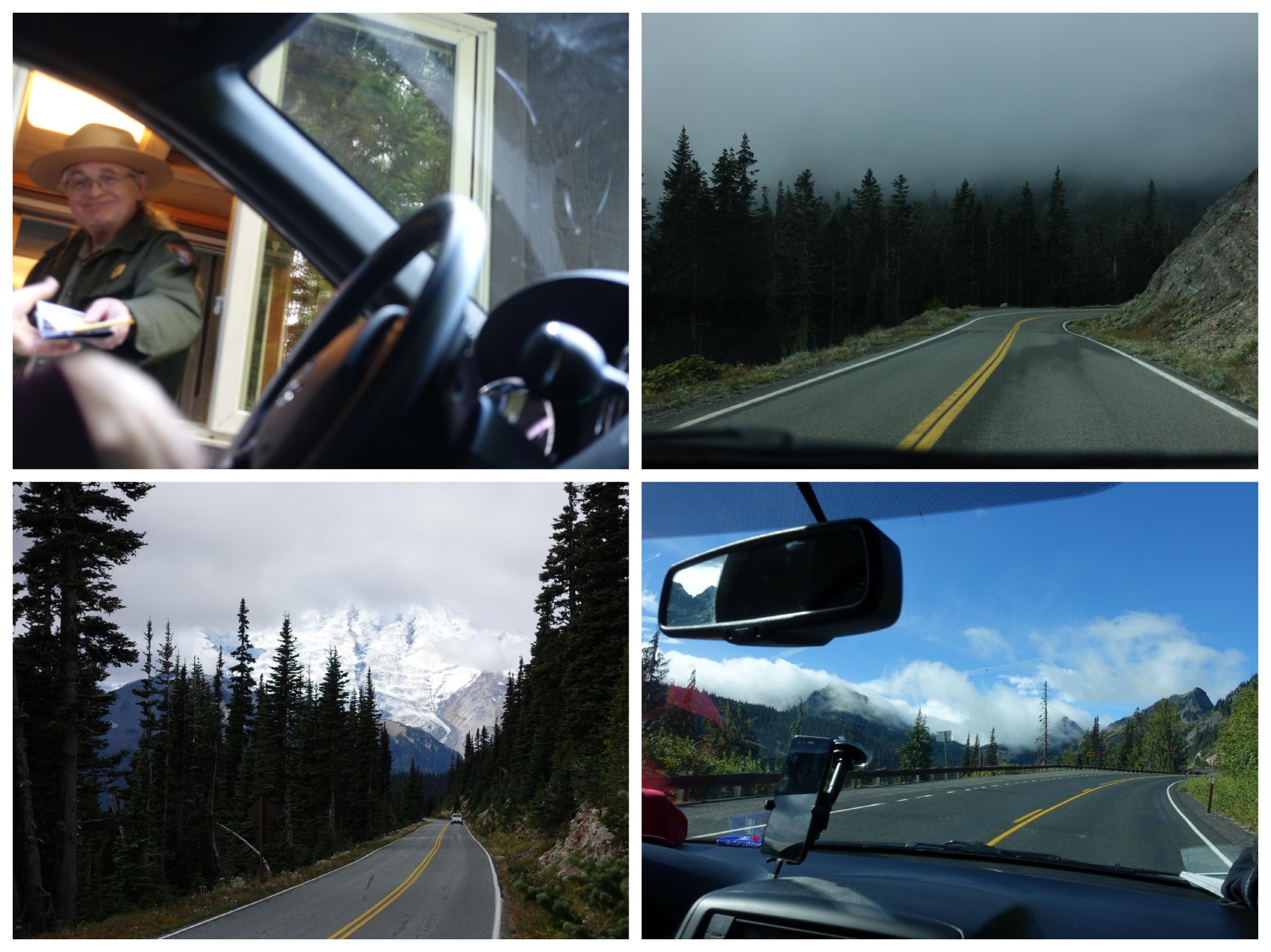
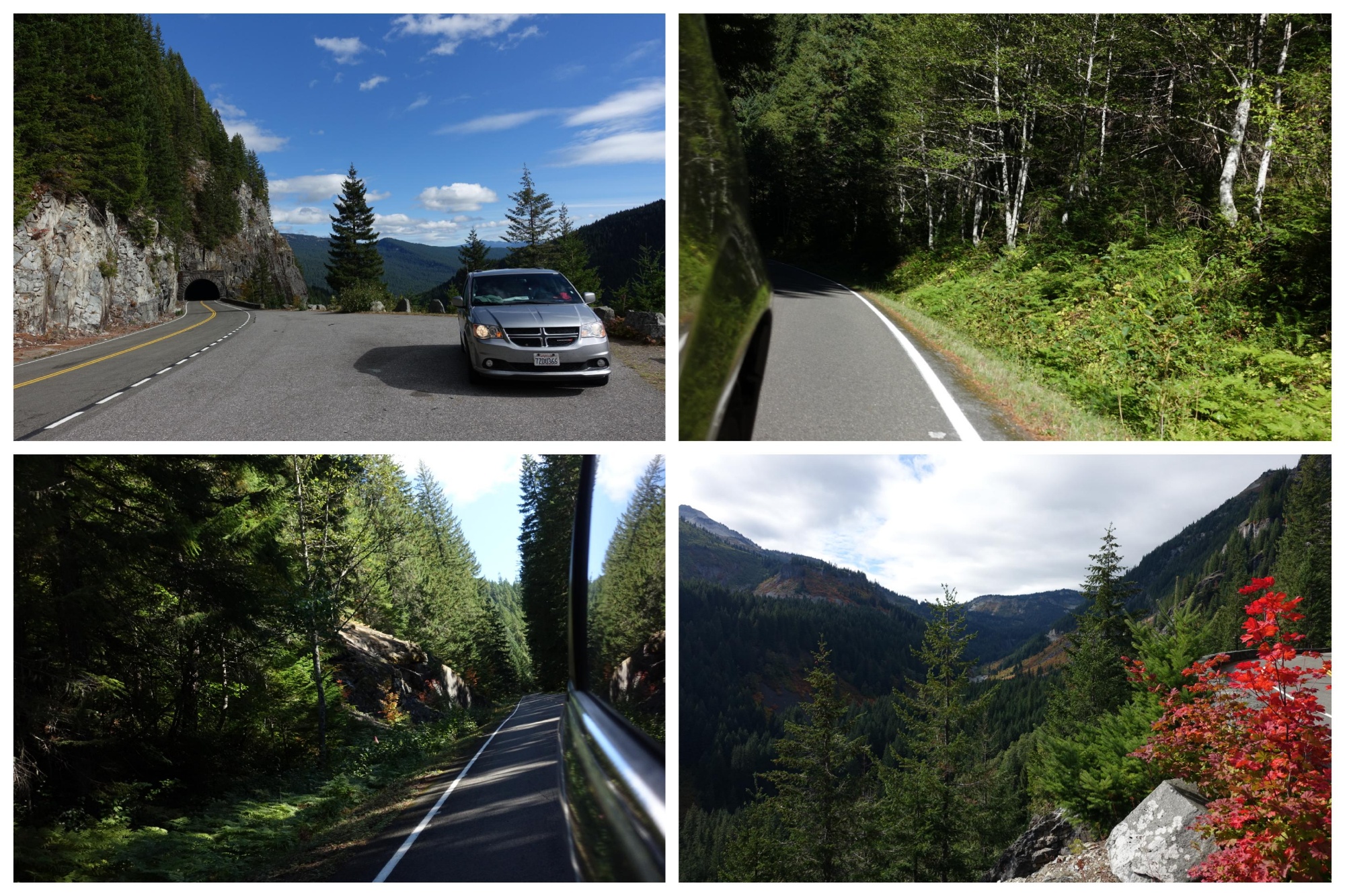
The plan we made yesterday started at 10:00, and that was exactly when we left our campsite to check-out and head towards Mount Rainier National Park. Mount Ranier is a 4392 m high, active volcano in the center of the park. We didn’t plan any long hikes, but instead wanted to drive through the park’s main roads, and have a closer look here and there. We would enter the park through the North Western White River entrance, follow the road South and then make a turn West. The rest of the day would be driving through Seattle and finding a camp site close to Olympic National Park.
We reached the entrance as planned, but then decided to take the road to the Sunrise visitor center in the North of the park. That was the moment when the plan started to fall apart, at least time-wise.
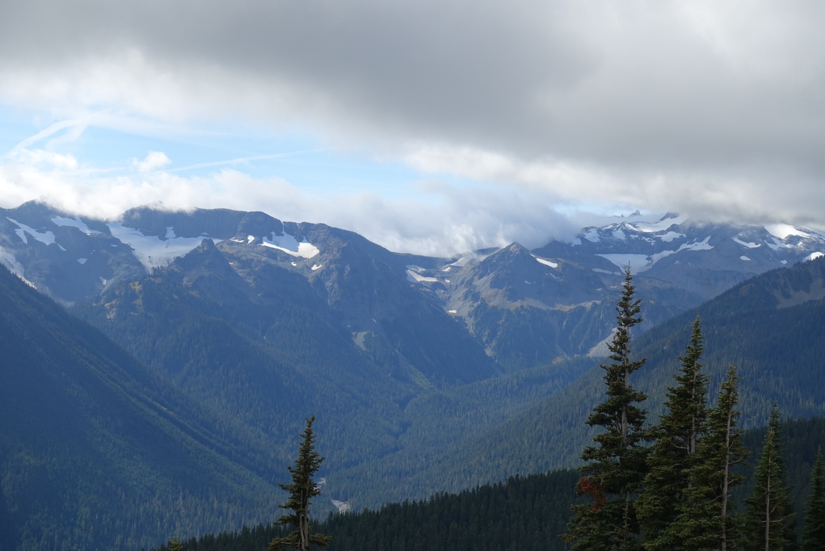
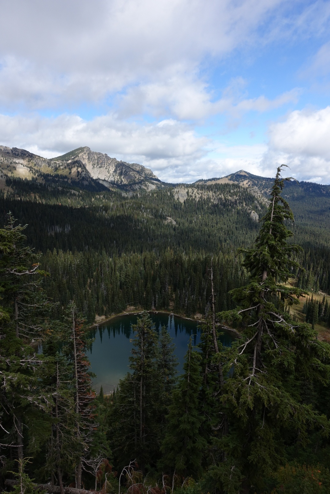
On the way up, we stopped at Sunrise Point for the views and mobile data connection to upload the last two posts. From the viewpoint, we could overlook the surrounding forests and mountain chains with the clouds flowing over their edge and have a glimpse at Lake Sunrise.
Up at the visitor center, we asked a young ranger for interesting spots along the road, which she marked on a map for us. One of the points was a little museum that didn’t sound too interesting, so we asked about their exhibits. The question caught her off guard and after some pause she replied: “Ehm.. Stuff.” We all had to laugh and she admitted not having been there yet. We skipped the museum in favour of the Trail of the Shadows nearby.
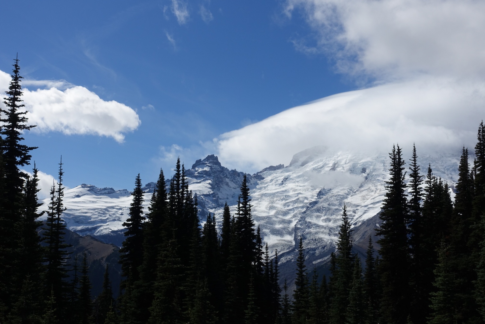
The visitor center had an interesting exhibition around the volcanic activity of the mountain. On pictures, it reminded me a bit of Mount Fuji in Japan; and indeed, they both are so called stratovolcanos which all feature the same characteristic silhouette. We walked around the visitor center looking at the snow covered mountainsides of Mount Rainer, whose summit remained hidden in the clouds.
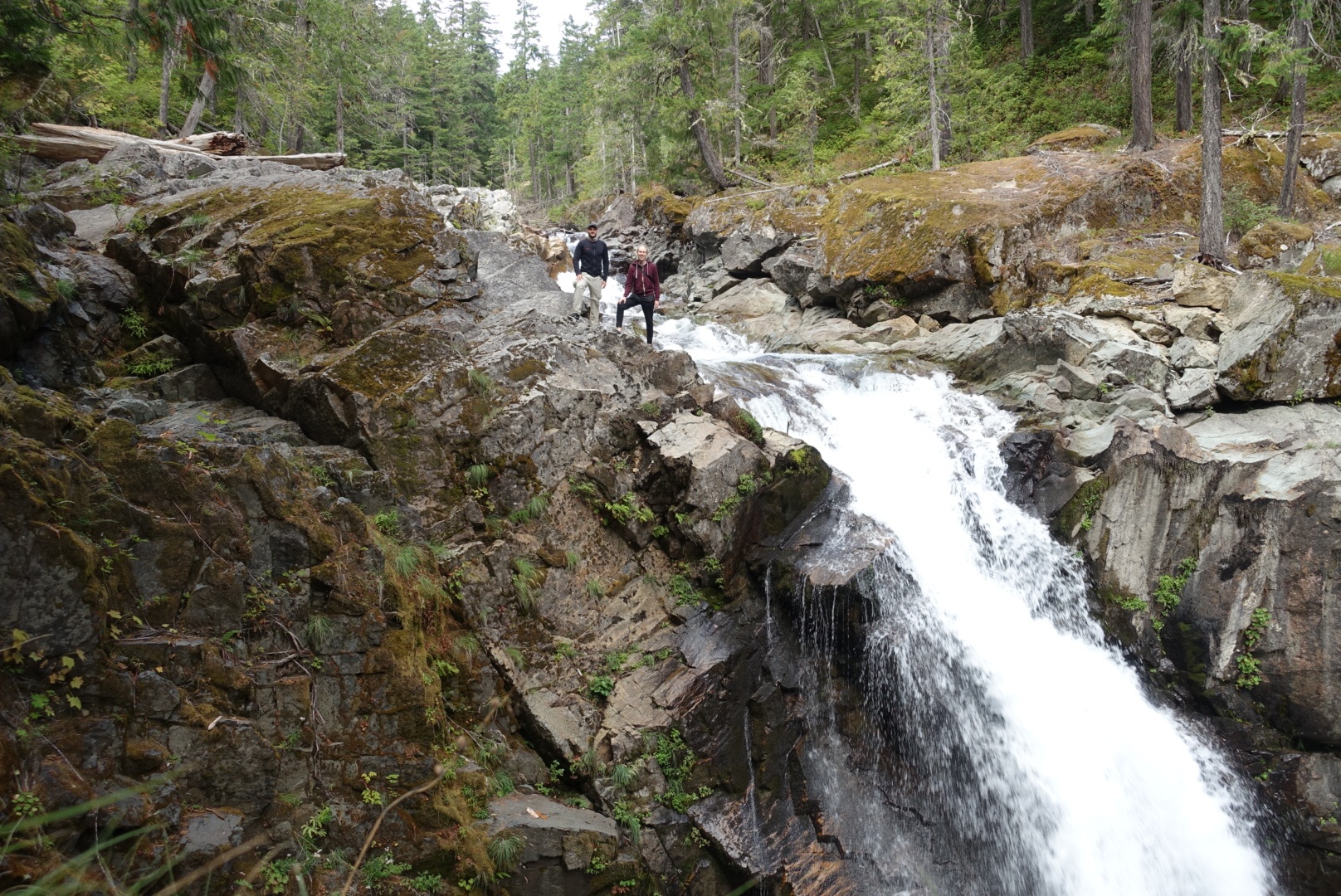
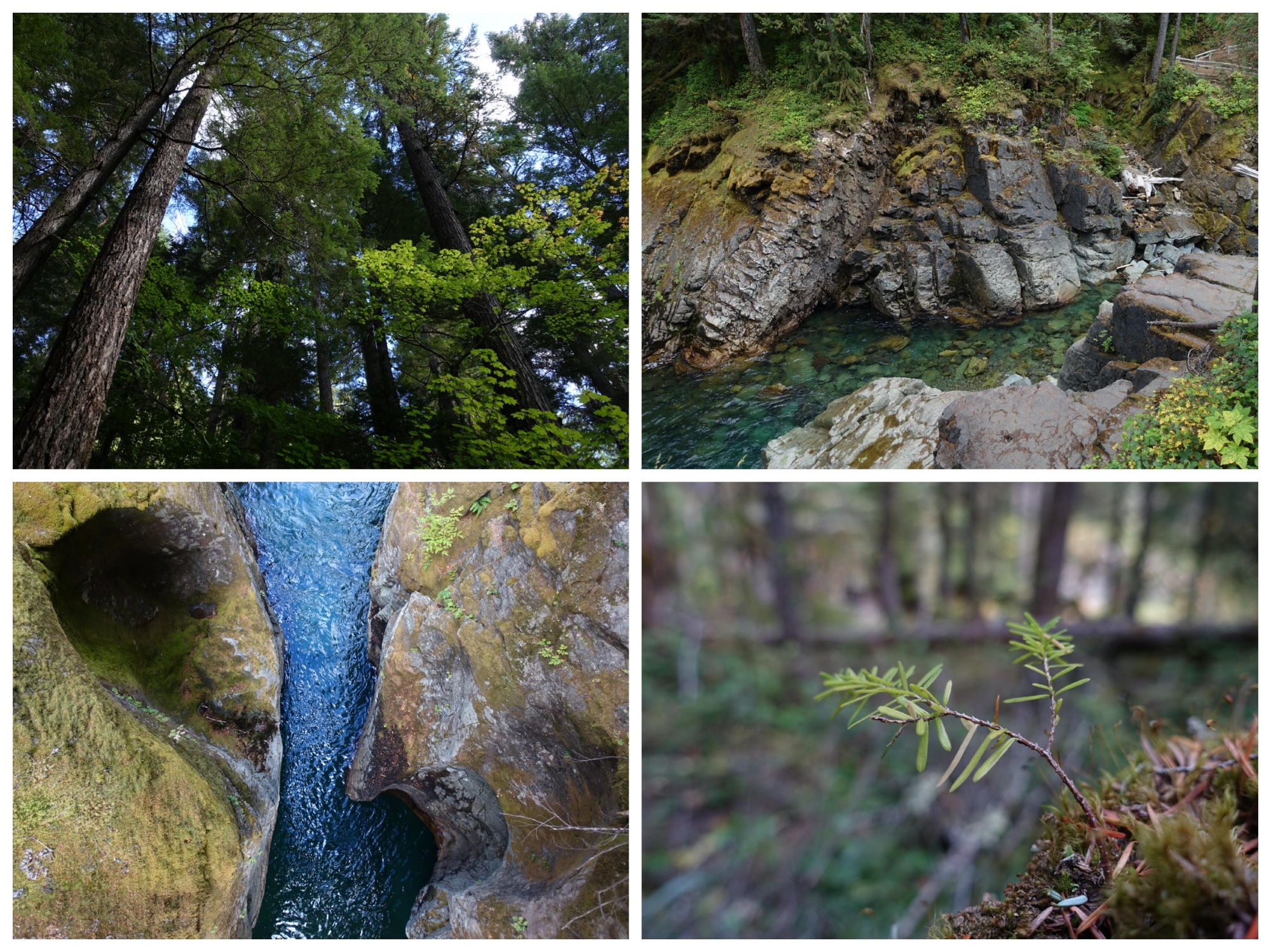
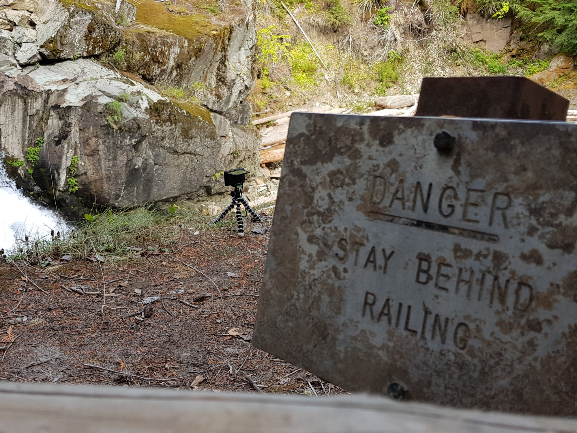
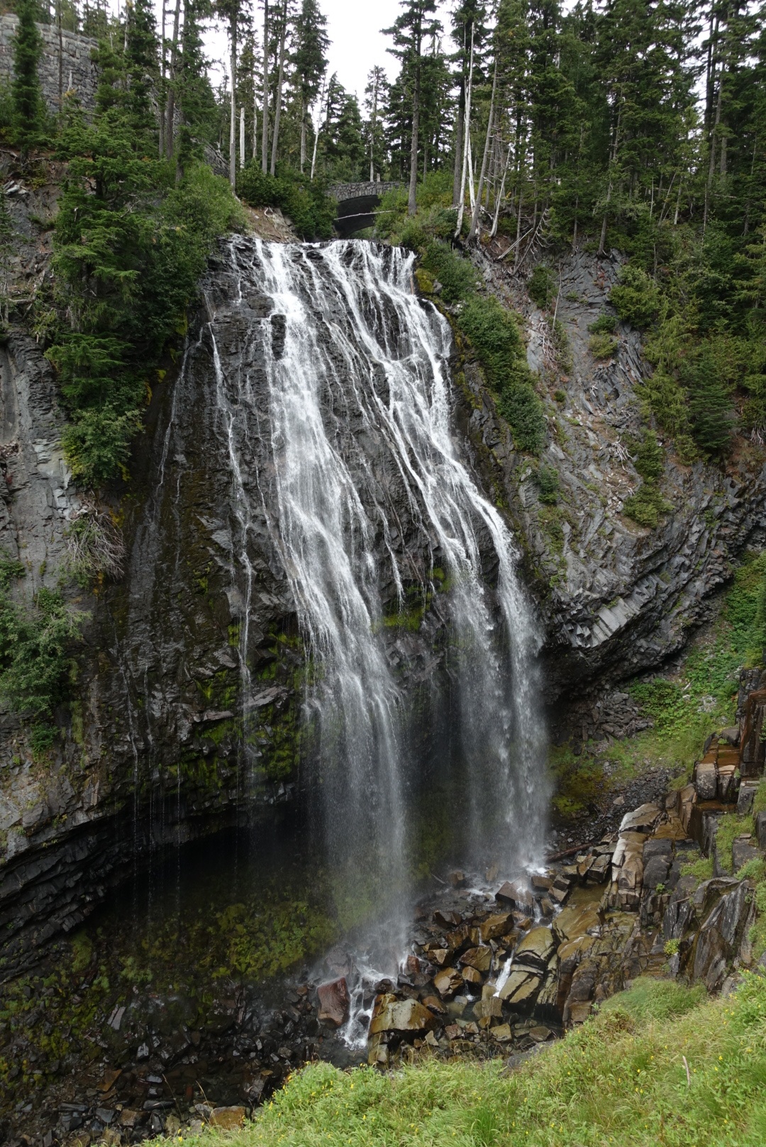
We drove back starting the actually planned route South. Our first stop was Silver Falls, just a bit further down the road than our junction to the road westwards. Hidden in a green, mossy forest, it wasn’t the biggest, but definitely one of the nicest water falls we encountered so far.
My Sony RX100M3 is a fearless little device.
The next point of interest on our marked map were the Reflection Lakes. We slowed down and had quick look out of the window – they didn’t reflect much as the wind was creating ripples on their surface. We kept driving.
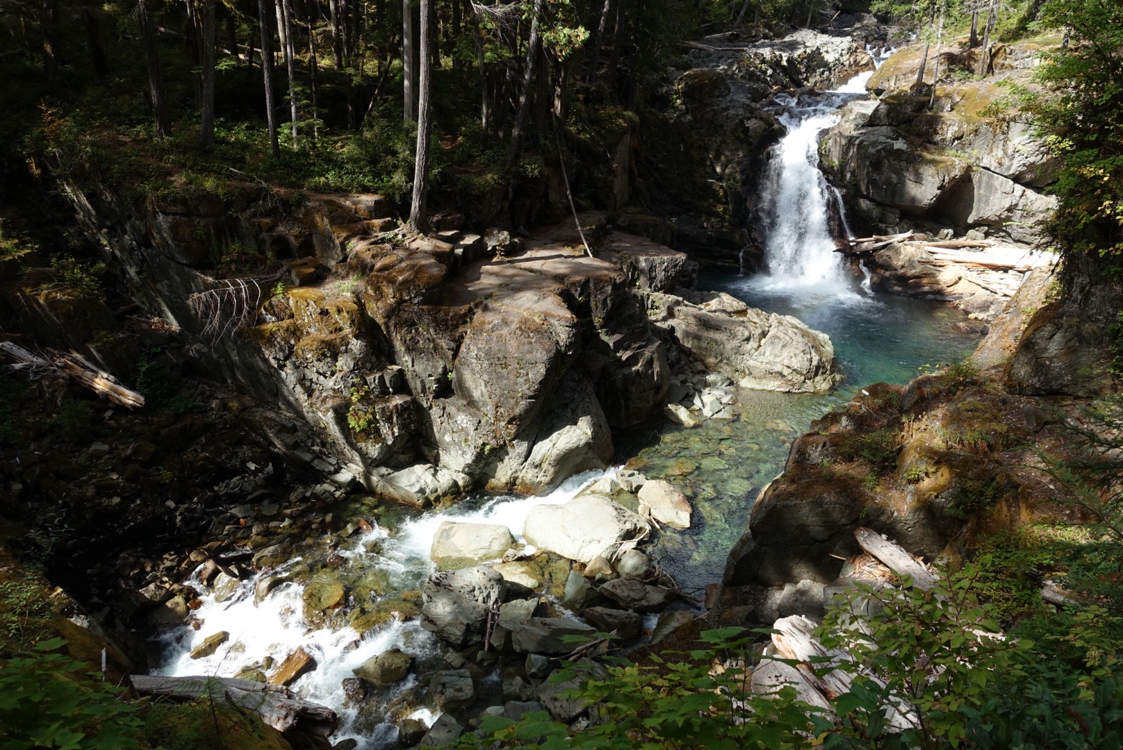
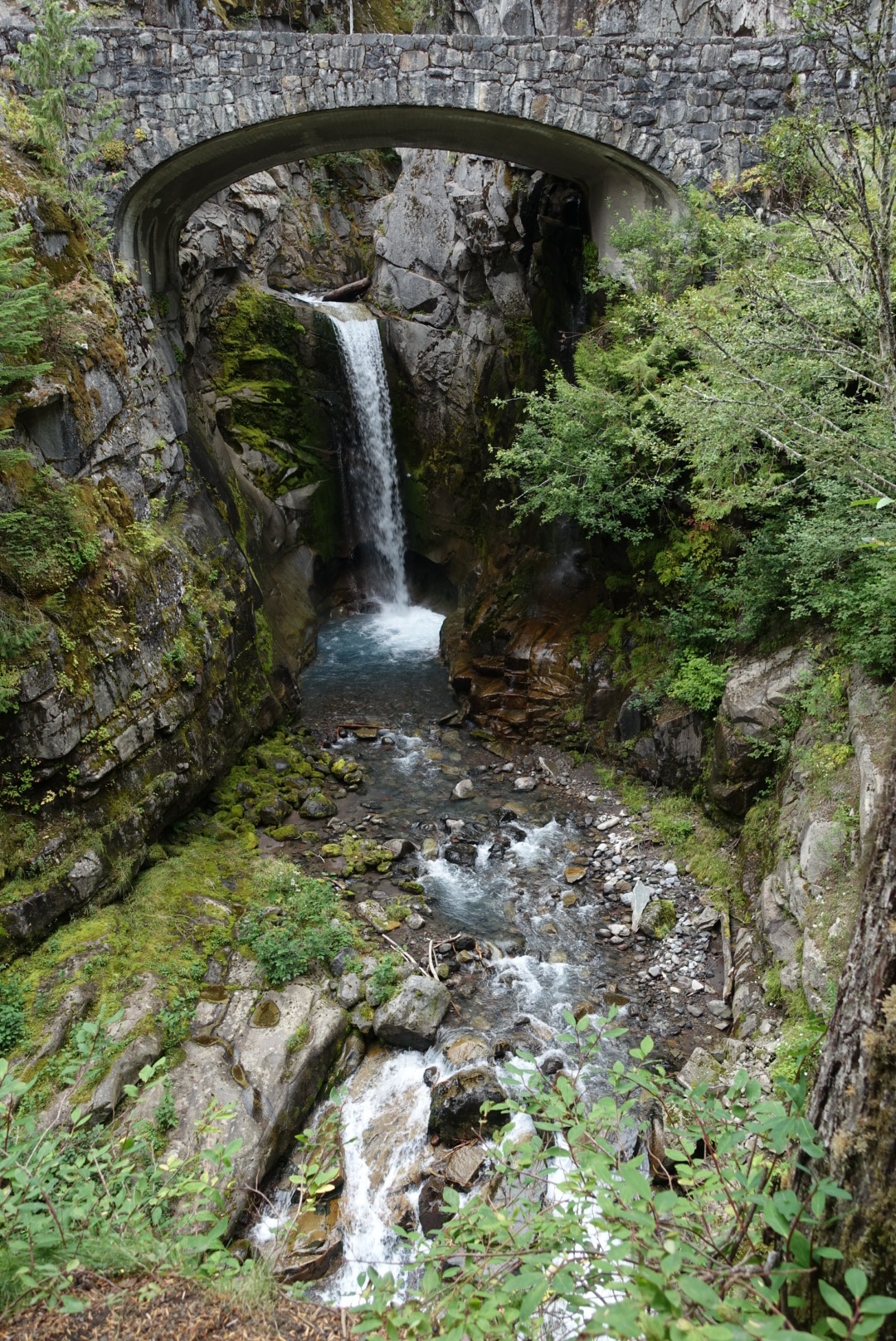
Narada Falls looked more interesting. Definitely worth going down the short trail to the viewpoint, to see the water falling down 51 m. Some of the stone around had the typical hexagonal column structure that is formed by lava being cooled down quickly.
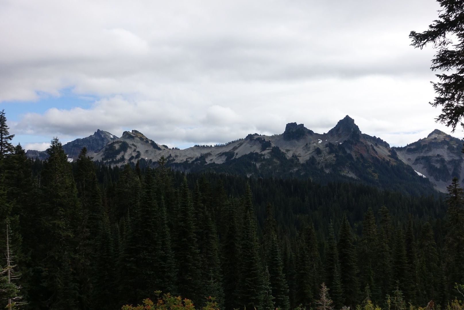
We continued our ride and took a short detour loop around an area called Paradise. The conditions were not optimal to enjoy mountain panoramas.
To complete today’s water fall triple, we did another stop at Christine Falls.
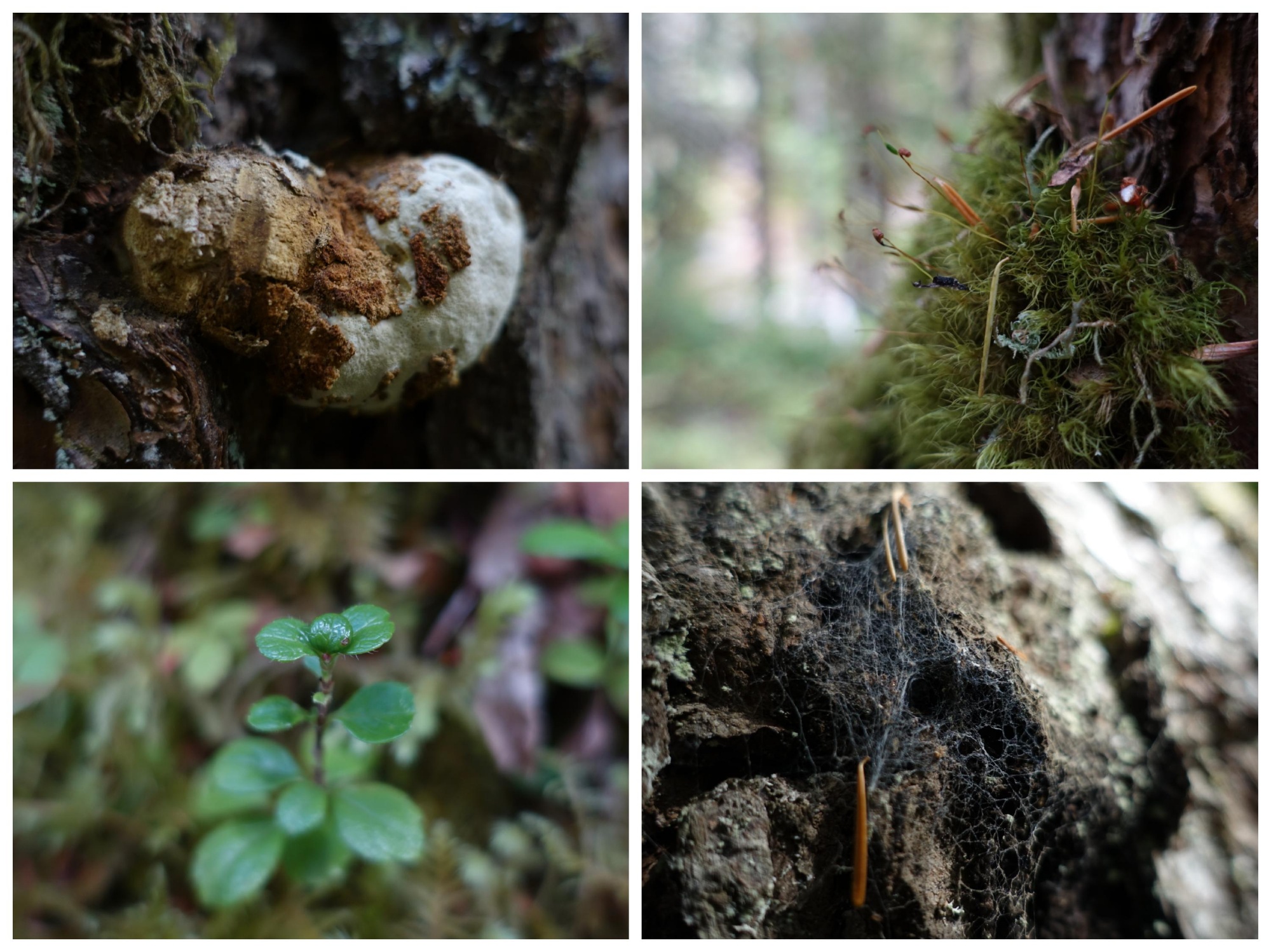
The last stop concluding our short visit of Mount Rainier National Park was the promisingly named Trail of the Shadows at Longmire. It was a short loop through a beautiful forest that surrounded a swampy meadow.
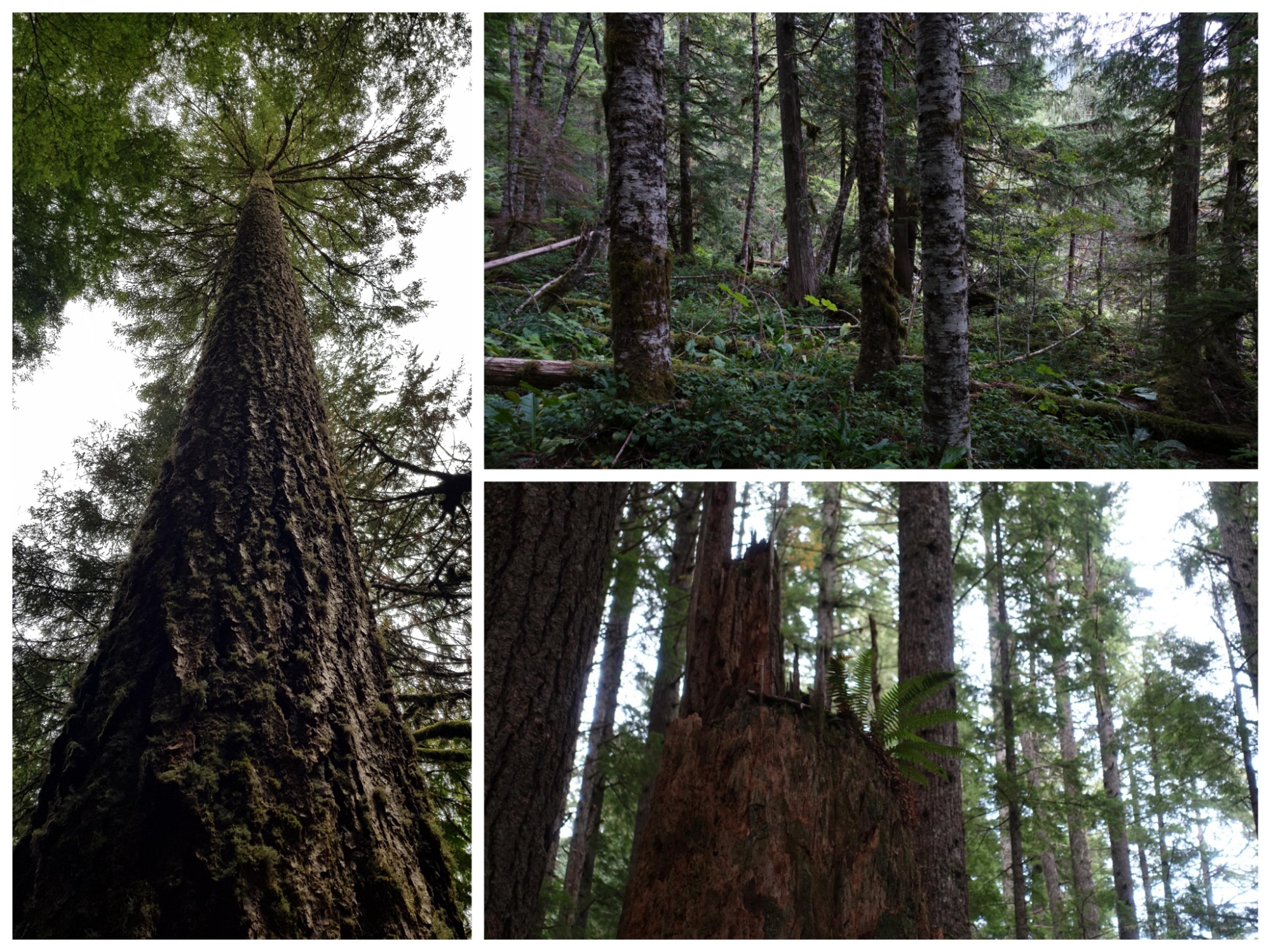
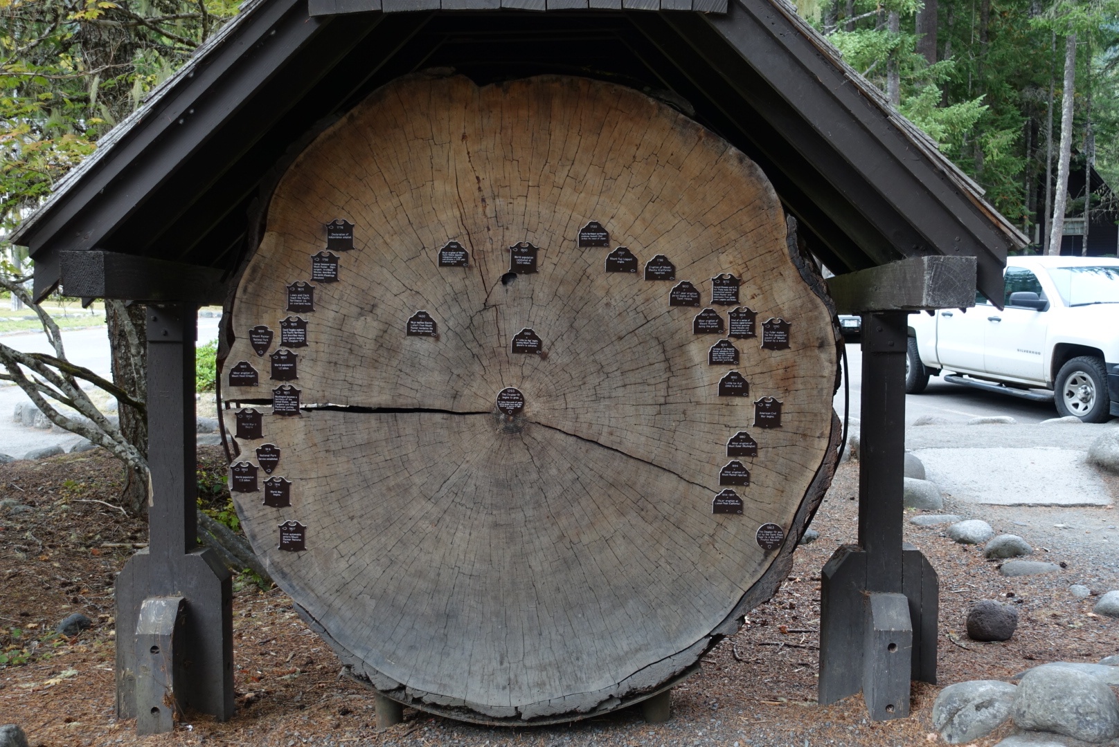
We saw the first giant trees, of which we hope to see many more at Olympic National Park. They usually put up one of those cuts with historical dates at the year rings of the tree – and it never fails to amaze.
We left the park around 17:00 way beyond our original plan. But who cares, we’re on a road trip and couldn’t be more flexible with our van.
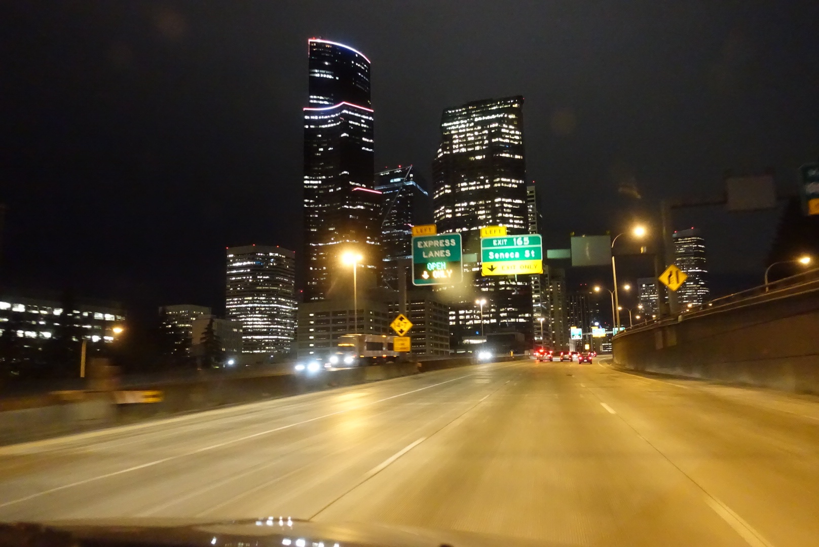
There was no exact destination in Seattle, we just wanted to get a few impressions. So we set a course for Downtown and waited to get in reach of mobile data to figure out the rest online while driving.
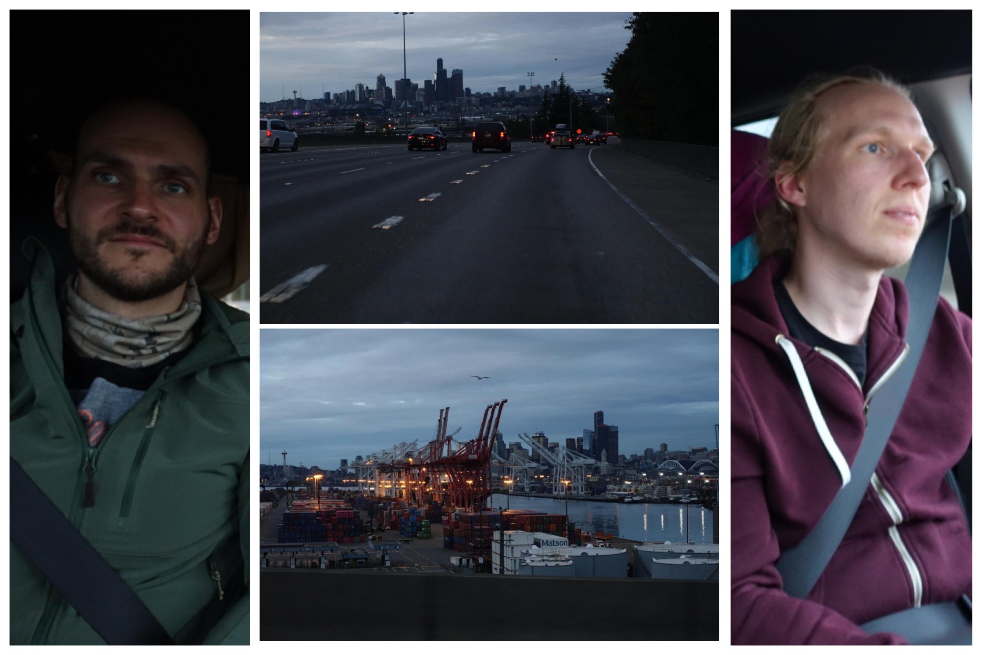
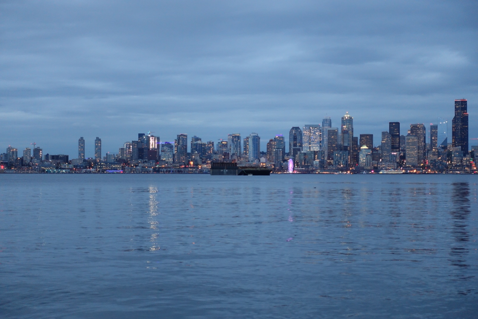
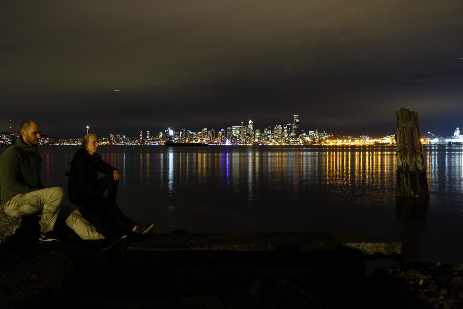
Marius had the good idea to look for spots to see the skyline of Downtown Seattle rather than going there. That’s where we went:
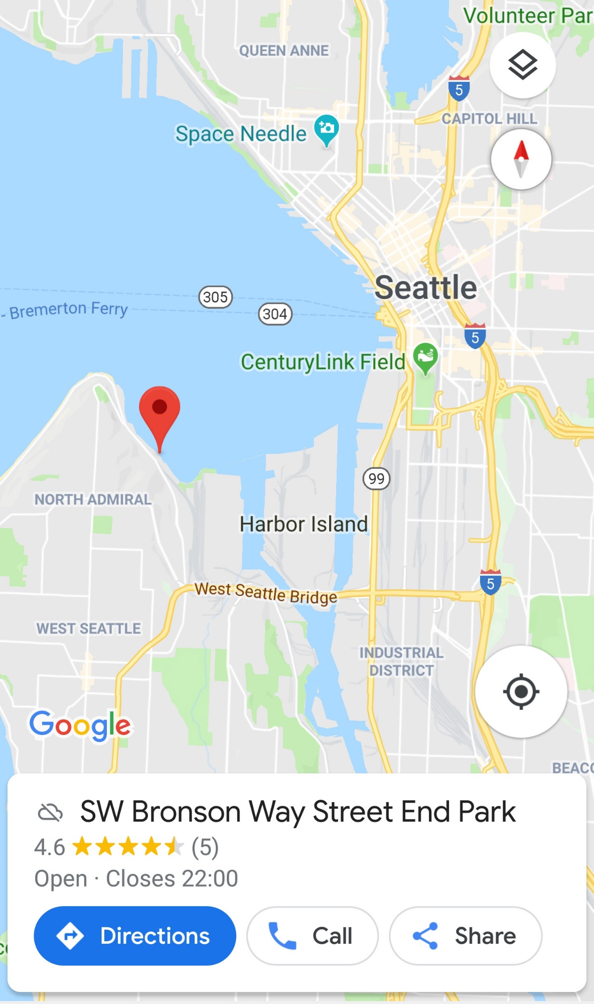
Our timing couldn’t have been better. We arrived with the last daylight and could overlook the skyline and its reflection on the water while it got dark. We took our time for an extensive long-term exposure photo session.
Being hungry after such a long day, we decided to eat somewhere in town instead of cooking later. One thing from Marius’ todo-list was trying the Impossible™ burger – vegans might know that one. It’s a vegan burger patty that restaurants can use to substitute the meat patty in order to make their burgers vegan. It is supposed to be very hard to distinguish from the real thing. According to the internet, “RAM Restaurant and Brewery” should have them, so we added a stop at one of their places to our route through Seattle.
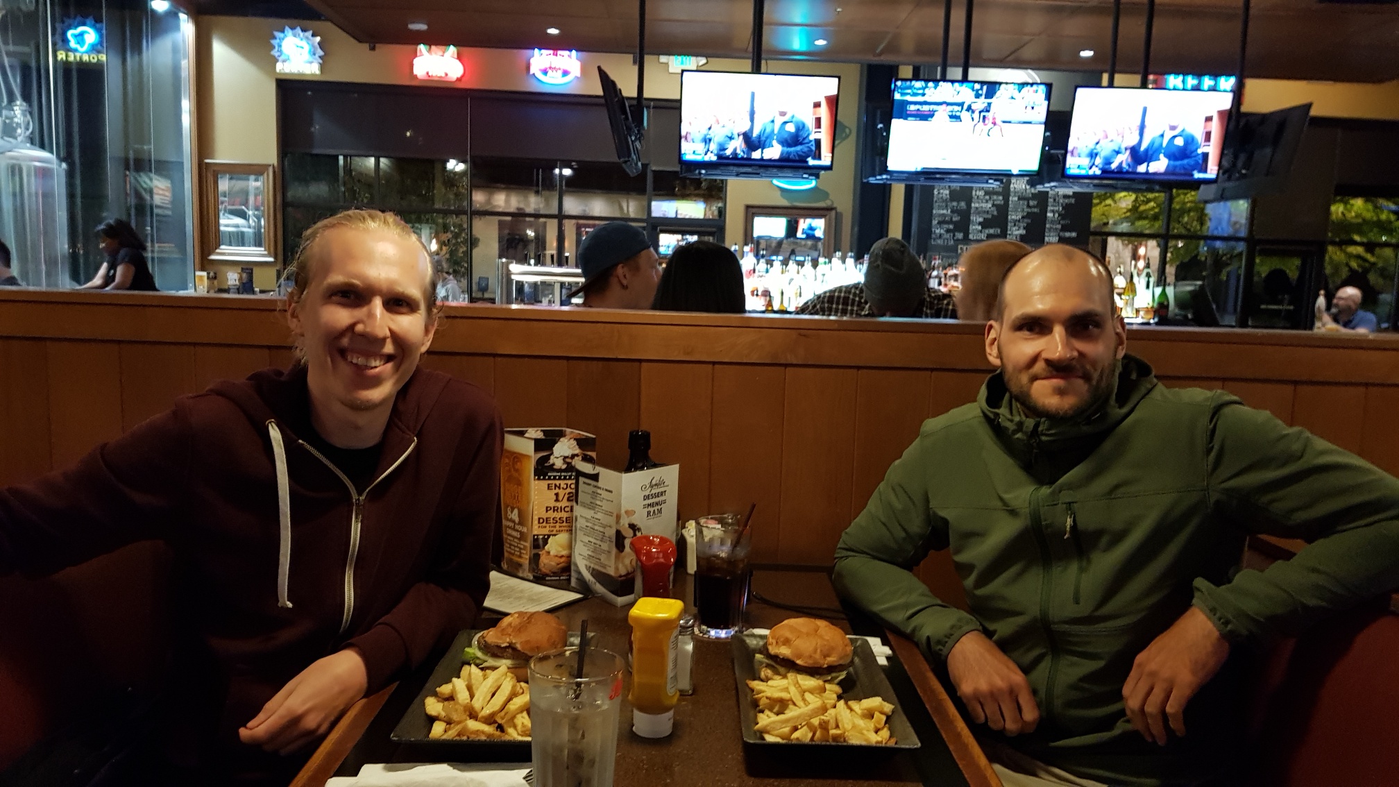
I’m not a vegan, quite the opposite actually, but I was rather impressed with my burger patty. Marius was happy as well. When we got the bill, it turned out the waitress didn’t get our order right and I had beef as usual – that explains that. Maybe I get another chance to draw a verdict in Portland. I’m curious now.
We had to take a ferry along the 104 from Edmond to Kingston to get to the Olympic Peninsula. Again, our timing was perfect for the 22:45 sail, and at this hour no reservation was required.
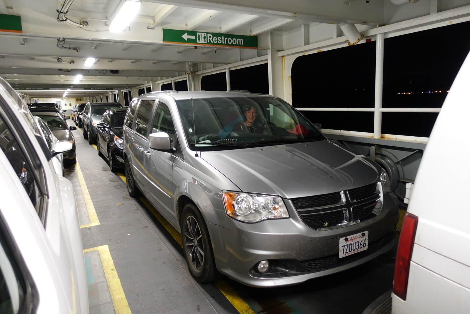
It took around 30 minutes to the other side from which we drove to the Sequim Bay State Park campsite. That’s our first public camping location. Unlike other government facilities it provided showers. We arrived at 23:59, and checked ourselves in.
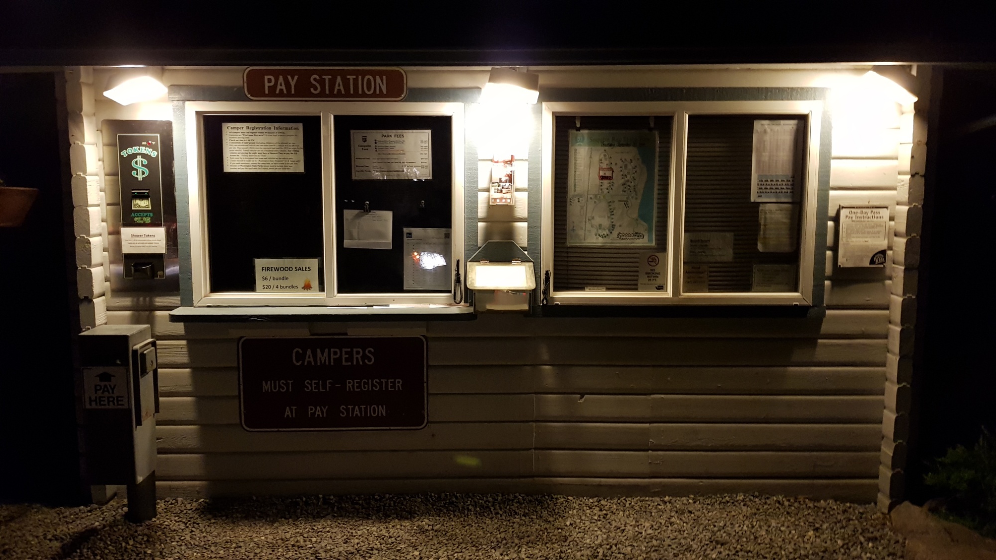
Both of us were tired, so we went to bed as quickly as possible and granted ourselves a late 08:30 alarm.